Tuesday night cold front brings showers and storms
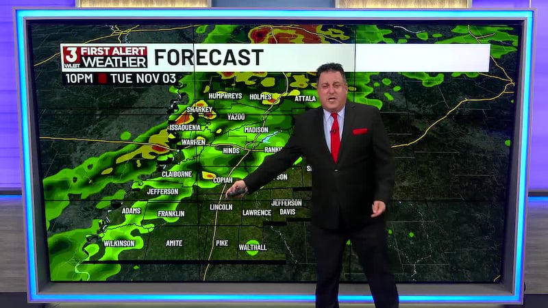
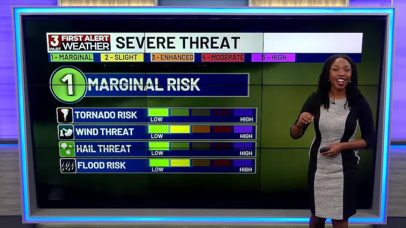
JACKSON, Miss. (WLBT)- A long-awaited cold front is heading toward Central Mississippi tonight. A few storms could be on the strong side causing a level 1 out of 5 risk for severe weather. Expect heavy rain and isolated strong wind gusts, especially west of the I-55 corridor. Damaging winds are the highest threat, followed by flash flooding. While the threat for strong tornadoes is low, weak tornadoes cannot be completely ruled out, so stay alert and have a way to receive weather warnings.
The storm will clear out by Wednesday, though a few lingering showers are possible across eastern Mississippi Wednesday morning. After that, expect mostly dry weather for the rest of the week and into next week. This is good news for your outdoor plans and commutes as we head toward the weekend.
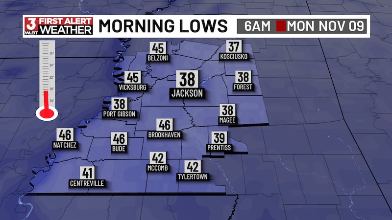
Behind this storm system, much cooler air will move in. High temperatures will drop from the mid 70s tomorrow, to the upper 60s by this weekend. Overnight lows will dip into the 30s and 40s, which means frost is possible next week. If you have plants or a garden, take precautions now.
Want more WLBT news in your inbox? Click here to subscribe to our newsletter.
See a spelling or grammar error in our story? Please click here to report it and include the headline of the story in your email.

Copyright 2026 WLBT. All rights reserved.