WLBT FIRST ALERT WEATHER
Rain Chances Remain Slim
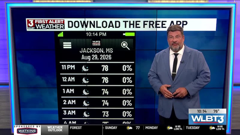
JACKSON, Miss. (WLBT) - This weekend, a high-pressure system moving in from the Southwest will bring a rise in temperatures, with the heat index taking our “feels like” temperature around 100 on Sunday. Heading into next week, that high-pressure system will settle over the region, bringing dangerously hot weather with temperatures in the mid-to-upper 90s and heat index values soaring to between 105 and 110 degrees.
At the same time, a weak low-pressure system moving along the Gulf will bring a chance for rain and storms, mainly to areas in south Mississippi. Central and north Mississippi will struggle to squeeze out a 20% chance for pop-up showers or thunderstorms.
Meanwhile, in the tropical Atlantic, the season remains quiet, with no active tropical storms, depressions, or hurricanes currently expected to form over the next several days. Of note, we are approaching the peak of Hurricane season, around September 10th.
Want more WLBT news in your inbox? Click here to subscribe to our newsletter.
See a spelling or grammar error in our story? Please click here to report it and include the headline of the story in your email.

Copyright 2026 WLBT. All rights reserved.