WLBT FIRST ALERT FORECAST
DANGEROUS HEAT & LOW RAIN CHANCES
JACKSON, Miss. (WLBT) - Excessive heat will continue to grip the region through the start of the workweek as a Heat Advisory remains in effect until 8 p.m. Monday. Temperatures will climb to near 100 degrees, with high humidity pushing heat index values as high as 110 degrees.
- Hydrate Frequently: Drink plenty of fluids, even if you do not feel thirsty. Avoid caffeine and alcohol.
- Stay Indoors: Remain in air-conditioned rooms as much as possible.
- Limit Sun Exposure: Avoid strenuous outdoor activities. If you must work outside, take frequent breaks in shaded or cooled areas.
- Look Out for Others: Check in on elderly relatives, neighbors, and pets who may be more vulnerable to extreme temperatures.
Rain Chances Offer Minimal Relief Ahead
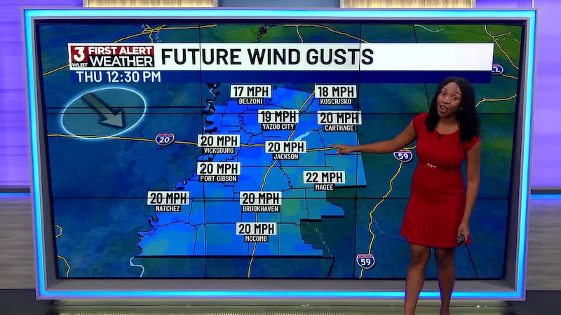
While the intense heat dominates the short-term forecast, some relief is on the horizon. A weak cold front approaching the region is expected to bring a slight shift in weather patterns by Thursday. However, that relief will be gradual. Rain chances remain slim—currently hovering between 20% and 30%. While the front won’t bring a dramatic cooldown, it will cap afternoon highs in the mid-90s, keeping triple-digit temperatures at bay heading into next weekend.
Quiet in the Tropics
In the Atlantic, we continue to track a tropical wave located over the central Atlantic, roughly midway between the Cabo Verde Islands and the Lesser Antilles. While the system is being monitored, the wave is moving into an area of less favorable conditions, and tropical development is not expected.
Want more WLBT news in your inbox? Click here to subscribe to our newsletter.
See a spelling or grammar error in our story? Please click here to report it and include the headline of the story in your email.

Copyright 2026 WLBT. All rights reserved.