WLBT FIRST ALERT WEATHER
Flooding Potential for the Work Week
JACKSON, Miss. (WLBT) - A cold front is slowly sliding into our area. High pressure will slow the front down, so it probably won’t move much, which is common in June.
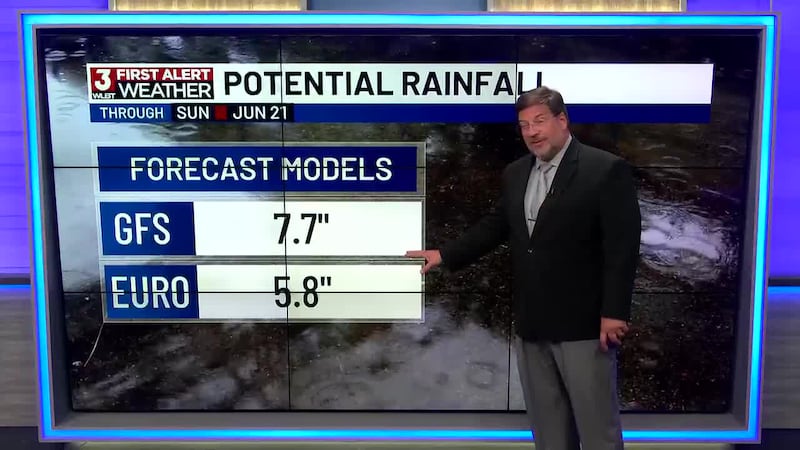
That same front will likely stall and become a main focus for several rounds of heavy rain this week. Current forecast models suggest about 2–4 inches total, early week.
Later in the week, another push of tropical moisture (from a tropical wave) may bring another 1–3 inches. This could raise the risk of flooding even more. The big question is timing and how strong that tropical wave gets. Most models keep it fairly quick-moving and not a big deal beyond more heavy rain.
The weather pattern stays wet, and there’s not much sign of a drier stretch even after 7 days.
Want more WLBT news in your inbox? Click here to subscribe to our newsletter.
See a spelling or grammar error in our story? Please click here to report it and include the headline of the story in your email.

Copyright 2026 WLBT. All rights reserved.