WLBT FIRST ALERT FORECAST
MORE SHOWERS SUNDAY... THEN THE HEAT IS ON
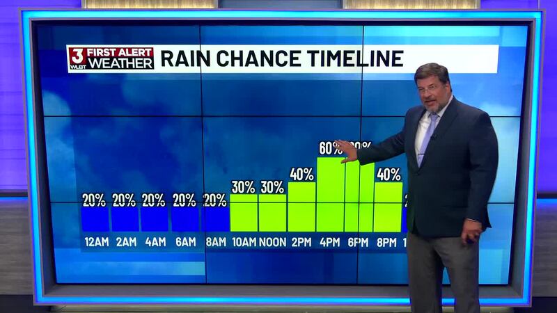
JACKSON, Miss. (WLBT) - A steamy, tropical-feeling air mass is locked in, bringing hit-or-miss showers and thunderstorms through the weekend. Widespread flash flooding isn’t expected, but any storm can dump a quick heavy downpour, leading to ponding in low-lying spots and poor-drainage areas.
Tonight: Rain chances taper late this evening, though a stray shower can’t be ruled out overnight.
Sunday: Another round of scattered showers and storms, again capable of brief heavy rain. No severe weather is expected at this time.
Week ahead: We shift into a classic summer pattern—spotty afternoon pop-up storms with building heat and humidity. Highs climb into the 90s, pushing heat index values near or above 100°F at times. For perspective, our averages are 89 for the high and 68 for the low.
The tropics are quiet for now—no tropical development expected over the next five days.
Want more WLBT news in your inbox? Click here to subscribe to our newsletter.
See a spelling or grammar error in our story? Please click here to report it and include the headline of the story in your email.

Copyright 2026 WLBT. All rights reserved.