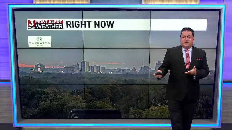
WLBT First Alert Forecast
A Tiny Break from the Toasty Temperatures
JACKSON, Miss. (WLBT) - High pressure over the northern Gulf continues to be our fair-weather maker. But an approaching cold front with cloud things up to start your Monday. It’s a weak and dry cold front, so don’t expect much out of it, but it will drop our daytime highs from the mid-80s to the upper 70s. That, by the way, is still above normal, which is 70 degrees.
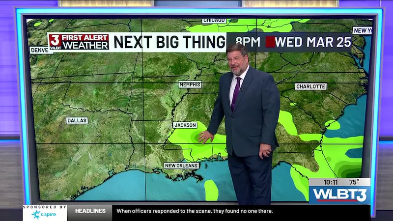
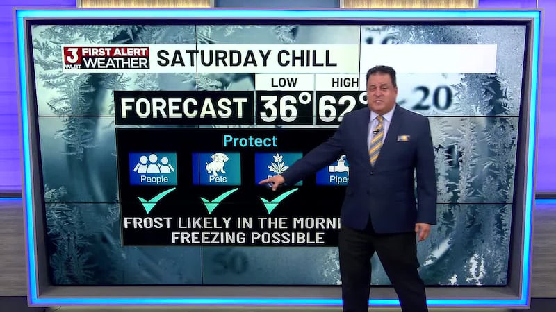
So dry weather will be the norm for us, though a weak disturbance will move across Mississippi on Wednesday bringing a slight chance for showers, don’t expect much rain out of it. Then, by week’s end, another dry frontal boundary will push through the area Friday, resulting in average temps for the weekend... but no rainfall.
Want more WLBT news in your inbox? Click here to subscribe to our newsletter.
See a spelling or grammar error in our story? Please click here to report it and include the headline of the story in your email.
Copyright 2026 WLBT. All rights reserved.