WLBT FIRST ALERT WEATHER
Quiet First of the Weekend Then Storms & Winter Temps
JACKSON, Miss. (WLBT) - High pressure will keep conditions calm and dry across the region for most of the weekend, providing a pleasant stretch of weather through early Sunday.
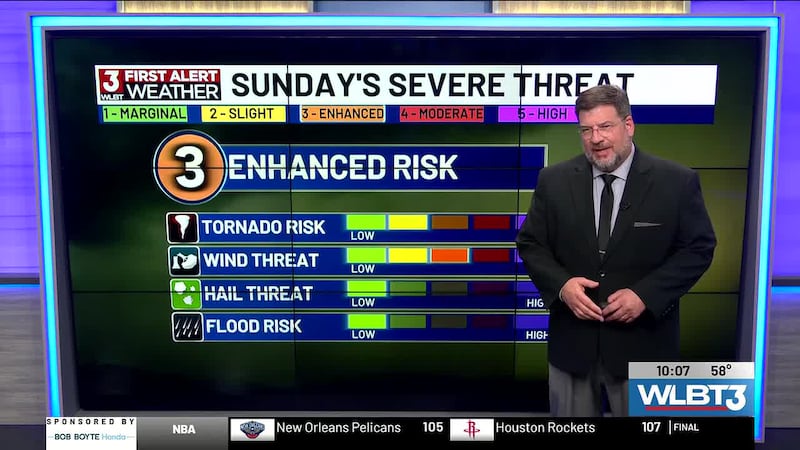
However, changes are expected by Sunday night as a cold front moves through the area. A First Alert Weather Day is in place on Sunday for a line of showers and thunderstorms likely to develop along the front. Some storms could become strong to severe. The main threat will be strong to damaging wind gusts, though an isolated tornado cannot be ruled out.
The exact timing and the areas at greatest risk could still shift in the coming days, so we encourage you to stay up to date with the latest forecasts.
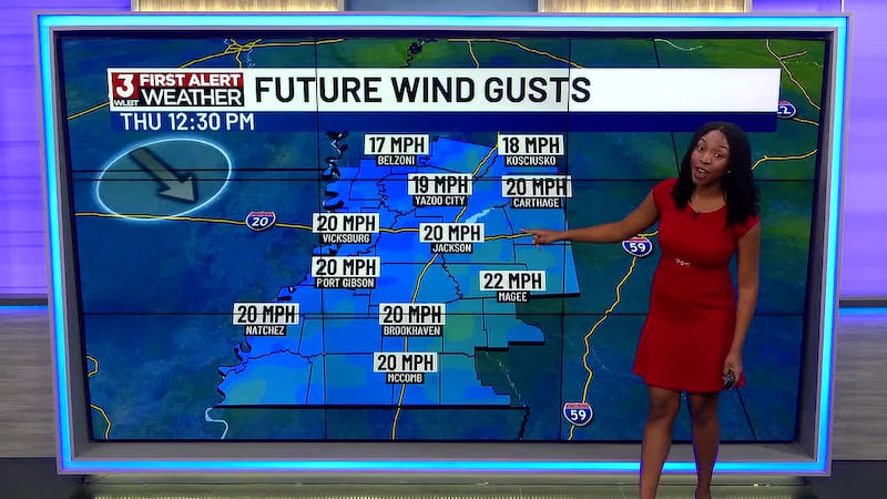
Behind the front, winds will shift out of the north and become strong and gusty continuing into late Monday afternoon. Those winds will usher in much colder air for the start of next week.
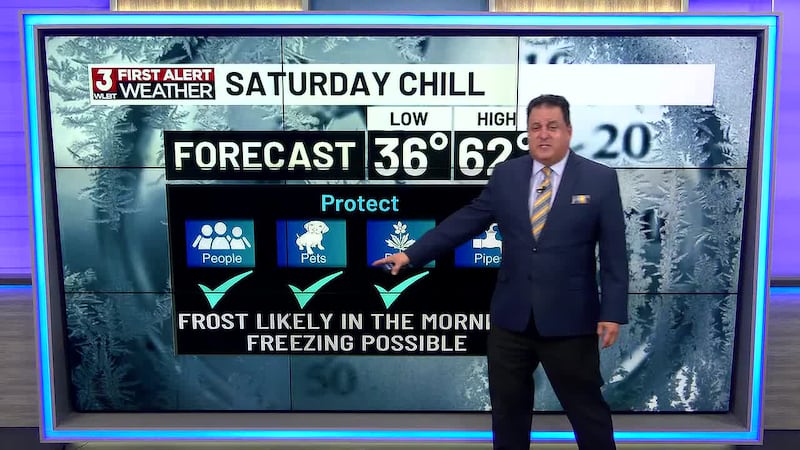
Confidence is increasing that at least parts of the region will experience a significant freeze Monday night, so an additional First Alert Weather Day is in effect. Anyone with agricultural interests or sensitive plants should closely monitor the forecast and begin preparing for potential cold-weather impacts. Also, it’s back-to-school for many after spring break, so be prepared to dress the kiddos accordingly.
Want more WLBT news in your inbox? Click here to subscribe to our newsletter.
See a spelling or grammar error in our story? Please click here to report it and include the headline of the story in your email.
Copyright 2026 WLBT. All rights reserved.